ISRO Provides A Free Certificate Programme In GIS And Remote Sensing
Campus News
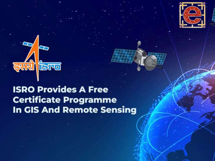
This is a fantastic opportunity for people to learn more about Global Navigation Satellite System (GNSS), Geographic Information System (GIS), and Remote Sensing technologies from the Indian Institute of Remote Sensing (IIRS), a division of the Indian Space Research Organisation (ISRO).
In this course, students will learn how to use remote sensing and geographic information systems (GIS) in a variety of fields, such as forestry, agriculture, ecology, geology, marine and atmospheric sciences, urban and regional studies, and water resources.
It gives learners insightful knowledge and practical skills that they may use in these important areas. The programme can accommodate a large number of students, with 10,000 seats available for the full course and an additional 5,000 seats for particular modules. For every course, 25 seats are also allotted to coordinators of nodal centres.
- ISRO Provides Free Certificate Programme
- GIS And Remote Sensing
- geographic information systems (GIS)
- Global Navigation Satellite System (GNSS)
- Geographic Information System (GIS)


